
6 min read
Self-Publishing An Illustrated Non-Fiction Book: One Author's Experience
Written by:
Troubador Publishing
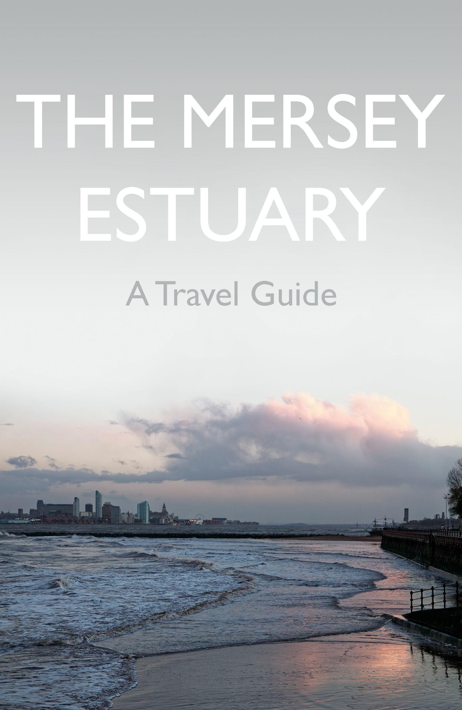
Many non-fiction books are richly illustrated and here Troubador author, Kevin Sene, describes some of the technical considerations in self-publishing a book of this type, namely a travel guide. These included sourcing the photographs and maps, designing the book, and producing the printed and ebook versions.
I have had the good fortune to work and travel in quite a few countries so have read many travel guides over the years. Indeed, reading about the history, environment and wildlife of a place can add to the anticipation of a trip, which is something I’ve been doing myself in these days of lockdown restrictions. Over the past few years, I’ve also been watching developments in self-publishing and – having a topic in mind - began wondering if it might be possible to publish this type of guide that way. However, some concerns that held me back were the book design and production skills required and whether the print quality would be good enough.
The best way to answer the printing question was to look at some examples and a visit to one of Troubador's Self-publishing Experience Days quickly put my mind at ease, with some beautifully produced non-fiction books on display. These included a lavishly illustrated cookbook, one on the history of tea, and another on animal husbandry. I also thought back to advice from other workshops where one recurring theme has been that it’s best not to try to do everything yourself, but to get help where you need it. As one person put it - paraphrasing slightly - you need to adopt the mindset of a small independent publisher, bringing in the skills and resources required to get the result you want. This article describes how I tried to achieve that balance in my first venture into self-publishing, which was a travel guide to the Mersey Estuary.
Photography
One of the attractions of most travel guides is the photography and a glance at the acknowledgements section will often show that at least some of the images were sourced from stock photography agencies. These are online retailers of images for reproduction in books, magazines and other media, and well-known examples include Getty Images and Shutterstock. However, as a keen photographer, I decided that I wanted to use my own photographs wherever possible, both for personal satisfaction and to understand their wider context when writing the text.
To help towards this, I joined a very useful mentoring programme with the UK-based Guild of Photographers to learn more about image composition and post-processing. While researching the book, I also found several photographs from other sources that would be great to include, such as a Roman mask on display at Warrington Museum & Art Gallery and an early image of sailing ships in the Port of Liverpool. These required permissions to include and – in a few cases – licences as well, such as for some fascinating aerial photographs from decades ago provided by Historic England. Based on this experience, after completing the book I decided to get to grips with stock photography and make a selection of images from the book available for personal or editorial use. This was through one of the longest-established agencies, Alamy, which is based near Oxford.
Mapping
In addition to photographs, most travel guides include a wide range of maps at different scales, from street maps for towns and cities to more general regional and thematic maps. Compared to even just a few years ago, nowadays there are many online tools to help with making custom maps and a quick online search on how to create a custom map will show some examples. For maximum flexibility, though, the more traditional route is to use a Geographic Information System (GIS) and from technical work I already had some experience in this area.
Well-known examples include ESRI’s ArcGIS software and QGIS, which is a free, open-source package. That’s therefore the approach I took, building up maps in the usual way from a series of layers, such as for the coastline, roads and urban areas, and using some of the inbuilt tools such as for generating contours and merging layers. To give more control over the appearance, it then turned out to be easier to add the labels using a graphics package (Adobe Illustrator) before saving the final maps as print-ready files. If this all sounds too complicated though, another approach is to commission a designer to help produce maps to your specification, which is a route some people may take.
Book design
Another feature of most travel guides is the imaginative use of fonts, text boxes and other typographic flourishes to help guide readers through the text. Decisions also need to be taken on how to combine images and text in an attractive way, whilst keeping to a realistic page count. Again, one option would be to ask a company such as Troubador to do this step and that is a sensible route for many people. However, already having some experience in this area, I decided to do this myself, in the process making quite a few changes to the text after realizing that – to use a cliché – some of the images spoke louder than words.
The best software to use seemed to be Adobe’s InDesign, which is favoured by many publishers. This is a wonderfully rich tool with many nice features, such as the ability to predefine styles at character and paragraph levels and to create master pages with different layouts, such as for photographic spreads, the index and the main text. It is also quite complicated so before starting I took a refresher course run by a local photography school and worked through some of Adobe’s training material. In the interests of balance, it is also worth pointing out that cheaper alternatives are available and searching online for desktop publishing software will show some examples.
Book production
The endpoint of the design exercise is typically an Adobe Acrobat (PDF) file, which in principle could be sent directly to a printer. This, though, was one area where I felt that I definitely needed help, both to give a more professional look to the book and to avoid colour and typesetting issues, which in the worst case might require a whole print run to be pulped. It was at this stage that I turned to Troubador and their production team designed a very attractive cover, created the print-ready files from my design, and arranged the proofreading. In the process, they fine-tuned the layout and added many great detailing ideas, such as text boxes, walk descriptions and figure captions.
They also handled the finer aspects of typesetting, introducing me to unfamiliar terms such as kerning and ‘widows and orphans’. I was also keen to produce an ebook version and, in an ideal world, this would appear exactly as it does on the printed page, with columns of text interspersed with images and text boxes. However, at present most ebook readers do not allow this, using reflowable text whose size and appearance vary depending on the device and options selected by the user, such as font size and display orientation. For image-heavy books like a travel guide, download times are also a consideration, as is the delivery (i.e. download) cost in the case of one well-known retailer. Page numbers also no longer have any meaning, so the index must be removed. Again, this was an area where I needed help and Troubador again stepped in, doing a great job of converting the print-ready file to an ebook available on four platforms: Amazon, iBooks, Kobo and Google Play. This included removing some images to improve download performance and adding several new features such as for page navigation and hyperlinks to external websites mentioned in the text.
Conclusions
Having gone through this process, I was pleased with the end result, which has a production standard similar to that of other guides available from bookshops and online stores. The skills learnt will hopefully also be useful in the book I’m currently working on, which covers parts of the Lake District. As in all types of self-publishing though, before starting it is important to consider where your own skills and interests lie and the balance to strike between spending time writing the next book and learning new techniques. Marketing is of course another consideration, but beyond the scope of this article!
Kevin’s recently published book, The Mersey Estuary: A Travel Guide, is available in print and ebook form from most bookshops and online stores, and you can find further details on the Troubador website. Kevin also writes about writing and photography, history, estuaries and wildlife, at (https://www.meteowriter.com) and you can follow him on Twitter too (@meteowriternews).

Alex Thompson
Rosemary Griggs: Turning a Passion into a Profession

Alex Thompson
D.S. Getson: How Tragic Family History Inspired my Historical Fiction

Alex Thompson
Steve Hill: Inspiring the Next Generation
Why publishing a business book is good for business

The Art of Storytelling: Uncovering the Inspiration for Writing Children's Books
From The Magazine Girls to book authors: our journey to publication

Troubador Author Interviews - Jude Hayland
The Pursuit of Perfection
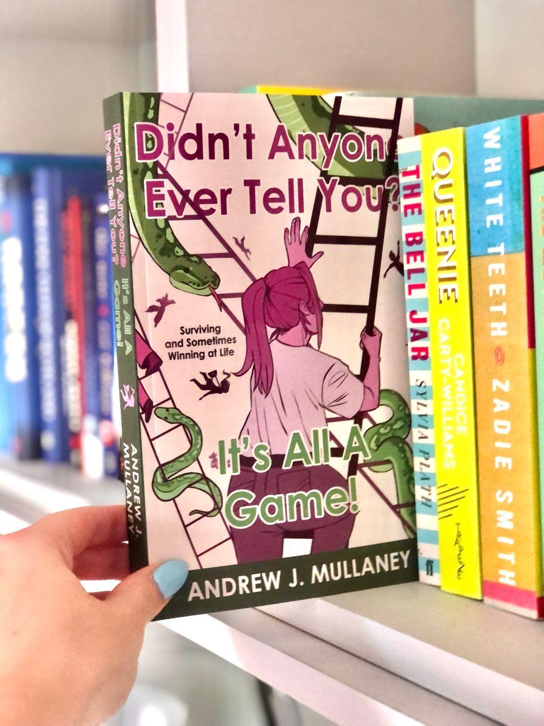
Self-Publishing with Troubador - An Author's Experience by Andrew Mullaney
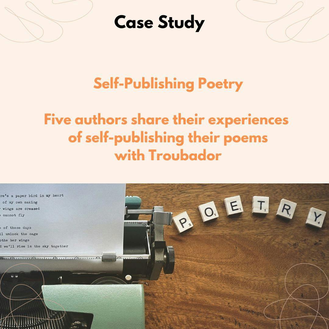
Poetry Publishing Case Study